Engineering Resource Associates
  • Home
  • About
    • Our Organization
    • Our Team
    • Prequalification
    • Professional Affiliations
  • Our Services
    • Transportation
    • Municipal Services
    • Structural
    • Water Resources
    • Site Development
    • Environmental
    • Recreation
    • Construction
    • Surveying & Mapping
    • Forensic Investigations
    • Geographic Information Systems
    • Online Public Surveys
  • Careers
  • Contact
    • Contact Us
    • Request a Quote
  • Client Access
  • Employee Login
  • Our Blog

IAFSM Conference 2021: Using Custom GIS Maps

3/8/2021

0 Comments

 
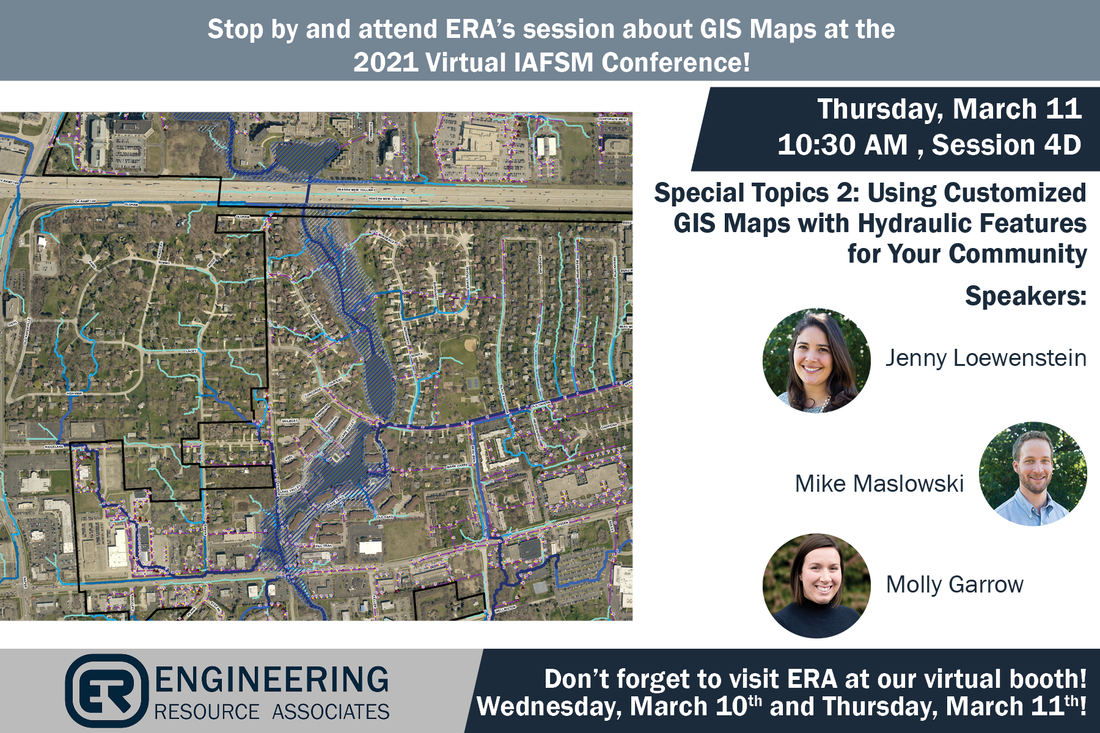
​As Illinois communities are dealing with urban flooding from a wetter climate, the demand from residents to improve stormwater management is increasing. ERA’s presentation at the IAFSM conference on Thursday will focus on how communities can use customized GIS maps from readily available data. The maps are used to identify flood risks from hydraulic features, such as overland flow paths, local depressional storage areas and delineated watersheds, and subwatersheds. The easy-to-read maps can be used by community staff (engineers and non-engineers alike) during public outreach, permitting, planning, and design activities to address urban flooding issues for residents. The presentation will go through real life examples of how these GIS maps are put to work for local communities. Make sure to attend their session this Thursday, March 11th!
Picture
0 Comments


Leave a Reply.

Warrenville

3S701 West Avenue
Suite 150
Warrenville, IL 60555

Phone:
​(630) 393-3060


Champaign

2416 Galen Drive
Champaign, IL 61821

Phone:
​(217) 351-6268


Chicago

10 S. Riverside Plaza
Suite 875

Chicago, IL 60606

Phone:
​(312) 474-7841


Milwaukee

342 N. Water Street
Suite 600
​Milwaukee, WI 53202

Phone:
​ (414) 238-9189


Denver

7535 East Hampden Avenue Suite 400
Denver, CO 80231

​​​​​Phone:
​(303) 790-9500

Contact Us

Office Hours: 8:00 am - 5:00 pm