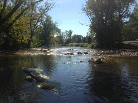
West Branch DuPage River Watershed Plan and Restoration / Hydraulic Improvements
DuPage County, IL
|
ERA prepared an updated watershed plan for the 100 square mile West Branch DuPage River. The amended plan concentrated on 7 miles of stream segment from Roosevelt Road to Fawell Dam. The purpose of the amended plan was to identify areas flooded by the 2008 storms and potential solutions to reduce severity and frequency of this flooding.
Using the recommendation and FEQ modeling from Phase I ERA designed improvements along a 3 mile reach of the West Branch DuPage River from Warrenville Road to Fawell Dam. Included in the Phase II design were 15 AC-FT of additional flood storage, 7.7 acres of restored hydrology and native planting within the River Road Corridor, 37.5 acres of native seeding in McDowell Grove Preserve, 7,000 LF of river restoration and streambank stabilization, floodwall and pump station to protect a private business, 3,000 LF of flood protection berm/levee, buyout and demolition of a residential property, construction of a new shared use parking lot, preliminary hydraulic design of Warrenville Road Bridge, and preliminary design for a new river re-meander. ERA assisted in securing 1.4 million dollars in 319 funds. ERA prepared construction documents and specifications for this phase of the project. |

