Klein Creek Streambank Stabilization
|
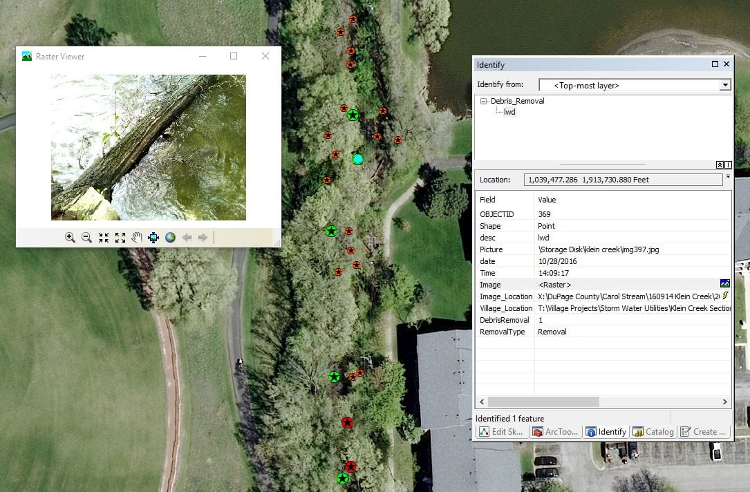
ERA created a GIS geodatabase for the Village of Carol Stream to monitor the condition of Klien Creek.
The photos were obtained from a river conditions survey and were then embedded into the geodatabase so that each photo was georeferenced and could be pulled up for easy viewing. This technique allows any user with ArcGIS for Desktop or QGIS to visualize where each photo was taken in the field and open the photo within the program. ERA also embedded a link to each photo independent of the geodatabase where the photo could be opened in an external photo viewer as needed. This GIS capability will allow for photos taken in the field to be georeferenced for any project ERA works on. If you see value in this service, please contact ERA today for a consultation. |

